IMAGIN's 1st season of the IMAGIN Webinar Series has come to a close.  Season 1 ran from November 5, 2020 through April 29, 2021 and offered twelve episodes.   You can find the recordings and slide presentations for each of the webinars below.  And make sure to watch the Webinar Series page to sign up to attend the live webinars for season 2 that start in May of 2021. 

Thank you to our 2021 IMAGIN Webinar Series Sponsors


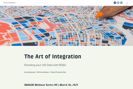
IMAGIN Webinar Series Season 1 Recordings
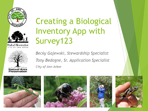
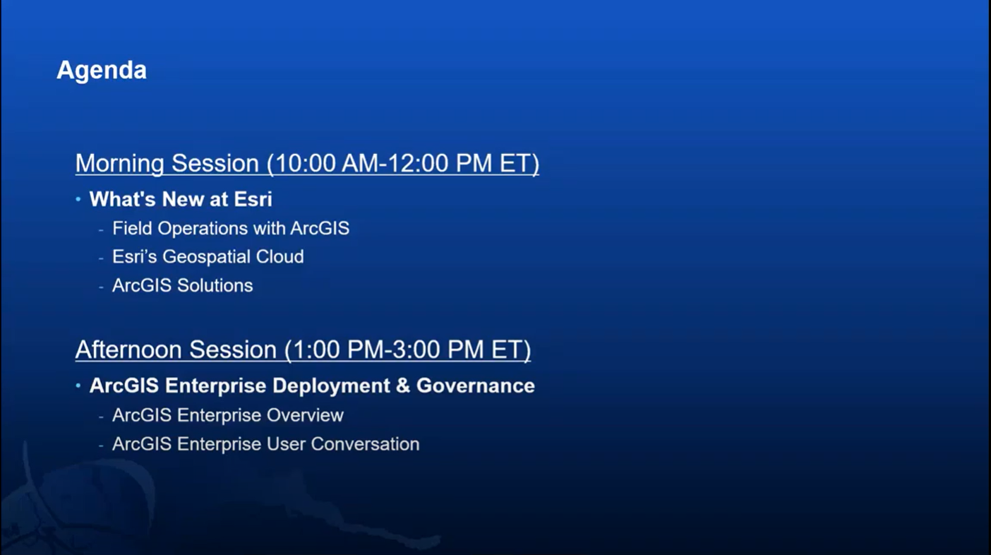
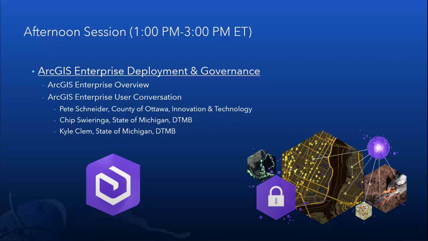

Episode 1: Expanding the Analysis of Herpetofauna in the City of Ann Arbor Using Survey123 
November 5, 2020
View Webinar Recording
View Webinar Slides

Episode 2: Visualize your 3D Data Live
in the Real World

November 19, 2020

Episode 3: How Accurate is My Field
Data I Collected?

December 17, 2020
View Webinar Recording
View Webinar Slides


Episode 4: Using GIS to Support Advanced Drone Operations in Your Community 
January 7, 2021
View Webinar Recording
View Webinar Slides
Episode 5: Encouraging Conservation through Alternative Drain
Apportionment

January 21, 2021
View Webinar Recording
View Webinar Slides
Episode 6: Processing Building Plans
Using FME Server

February 11, 2021
View Webinar Recording
View Webinar Slides


Episode 7: Using Location Intelligence to Recycle Land to Productive Use
Episode 8: Geodatabase Replication
Distributed or Disturbed?
Episode 9: The Art of Integration
Elevation your GIS Data with BS&A


Episode 10: Real Time Plowing:  AVL and GeoEvent Server at Lansing
Episode 11: Aerial Imagery:  A Rapidly Evolving Technology for the Future of Smart Cities
Episode 12: Confessions of a
Part 107 UAS PilotApril 15, 2021

April 29, 2021

State of Michigan GIS Users Group
February 4, 2021
Special Presentations by Esri

Morning Topic: What's New at Esri

Presented By: Matt Robinson & Phillip Julian, Esri

Presentation Description: The morning session will consist of a series of three presentations focused on what's new and what's coming from Esri and ArcGIS. The presentations will cover key components of: Field Operations, the Geospatial Cloud, and ArcGIS Solutions.


Afternoon Topic: ArcGIS Enterprise Deployment & Governance & Panel Discussion
Presented By: Matt Robinson & Phillip Julian, Esri
Panel Members: Pete Schneider (Ottawa County), Chip Swierenga & Kyle Clem (State of Michigan DTMB)

Presentation Description: The afternoon session will start with a brief overview of ArcGIS Enterprise components and use cases by Esri. We will then have two user presentations focused on their experience with ArcGIS Enterprise. One will focus on their base deployment experience and the other will cover various governance strategies.


View Afternoon Presentation

IMAGIN: Improving Michigan's Access to Geographic Information Networks

IMAGIN is a 501(c)3 non-profit organization with offices at 416 S. Cedar Street, Suite H, Lansing, MI 48912

Powered by Wild Apricot Membership Software